|
Michael R. McGee, PLS
McGee Surveying Consulting
GPS/GNSS Services: General Information
Michael McGee, PLS provides consulting services
to surveying firms, engineering firms and government agencies.
These services include training, education and assistance in
understanding datums, reference frames and models; and how to
organize, implement and complete GPS/GNSS projects. His background
includes a B.S. in Surveying (1990) with 28 years' experience in
GNSS surveying and mapping.
Services include training project managers and
receiver operators in GPS/GNSS survey planning, quality control,
processing, analysis and adjustment of GPS measurements to provide
control, real time capabilities and GIS data collection.
Geodetic instructions and advice are provided on
the relationship and utilization of datums like NAD27, NAD83,
IGS08, IGS14 and ITRF14 as well as vertical datums like NGVD29,
NAVD88 and the new 2022 Datums. More and more often surveying is
less local and necessarily connected to the world by way of modern
reference frames, and models like Geoid2012B, beta geoids and
USGG2012. Understanding the history of national adjustments from
the original NAD83 in 1984 to the more recent re-adjustments of
the National Spatial Reference System is basic for moving forward
with the latest reference frames and relating to legacy systems.
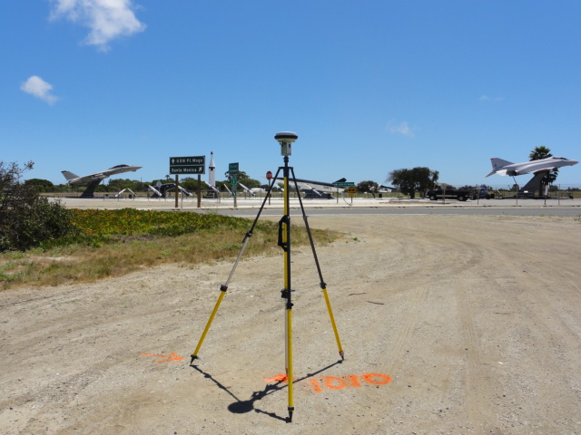
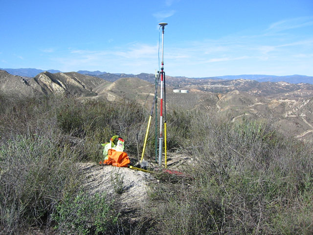
The most practical and productive experience for
new users is the utilization of an actual project to become
knowledgeable in the use of GPS. You can expect with 2-4 receivers
to survey 8-24 high accuracy points per day with elevations
accuracy comparable to conventional leveling
Project requirements, budget and overhead
constraints will dictate the level of involvement and cost of
services. I can organize and coordinate a project using your staff
with the focus primarily on production and secondarily on
education. This will expedite the project; however, it is likely
you would need my services again on the next project to complete
the training. The long term solution is to make the project an on
the job training seminar.
If you have a specific project and can provide a
project map we can discuss these items in more detail, answer
questions and work together to estimate hours and costs
|